

Discover how UAVs are revolutionizing Earth observation and their growing potential to replace traditional satellites in various industries.
Can UAVs Replace Satellites in Earth Observation?
Earth observation has long relied on satellites. They provide data for weather forecasting, agriculture, environmental monitoring, and more. However, satellites come with high costs, long development times, and limited flexibility. That’s where UAVs (unmanned aerial vehicles) step in.
Today, UAVs offer a fast, flexible, and cost-effective alternative to traditional satellite systems. Let’s explore why drones are gaining ground and how they might even replace satellites in certain areas.
Why UAVs Are Gaining Popularity
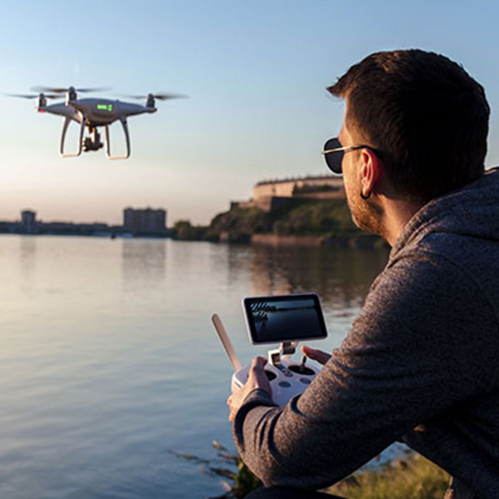
UAVs are easier to deploy. They can be launched within minutes, cover specific locations, and collect high-resolution data in real time. Unlike satellites, they don’t need to orbit the Earth or wait for a revisit cycle. This gives UAVs a huge advantage in time-sensitive operations.
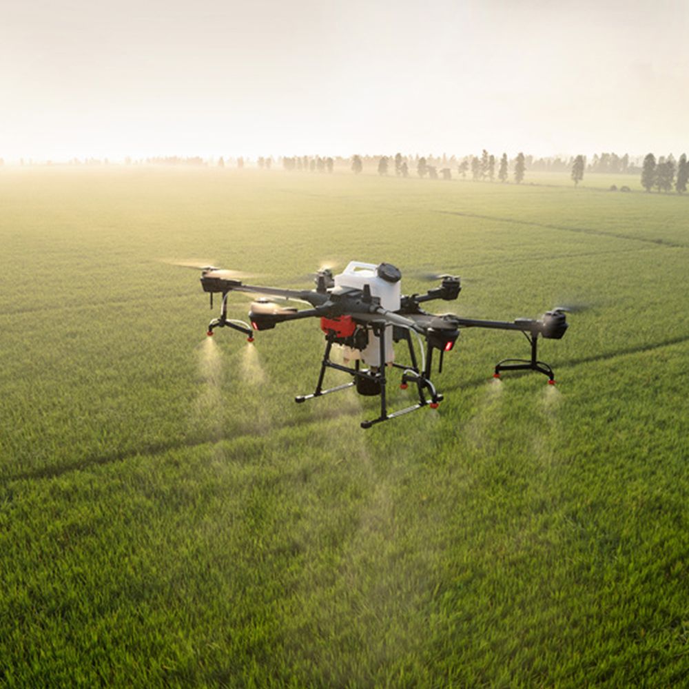
Besides, drones can fly at lower altitudes. This allows them to capture finer details—essential for precision agriculture, disaster response, and urban planning. UAVs also reduce cloud interference, which is a common issue with satellite imaging.
At CAE UJT, we provide advanced UAV solutions designed for professional-grade Earth observation tasks. Whether you’re working in agriculture, mapping, or environmental research, our UAVs deliver precise, reliable data.
Cost and Flexibility
Satellites are expensive. Launching a single satellite can cost hundreds of millions of dollars. Maintenance, control, and data transmission also add to the bill. In contrast, UAVs are affordable and easier to maintain. You can upgrade or replace them quickly when technology evolves.
Moreover, UAVs can fly under clouds, in narrow terrains, or over disaster zones—places where satellites often struggle to provide useful data. This gives UAVs an edge in real-world applications.
Applications concrètes
Many industries are already switching to UAV-based observation. Farmers use drones to monitor crops and manage irrigation. Emergency teams use UAVs to assess disaster zones quickly. Conservationists use drones to monitor wildlife without disturbing habitats.
In fact, international agencies and research centers are now combining both satellite and UAV data for higher accuracy. For example, NASA uses drones alongside satellites to study climate change and air quality.
Will UAVs Fully Replace Satellites?
Not yet—but maybe someday. Satellites still offer unmatched global coverage and long-term data archives. However, UAVs are becoming the go-to choice for short-term, high-resolution, and location-specific tasks.
In many cases, UAVs are not just an alternative—they’re a better solution. As drone technology evolves, we can expect more industries to rely on UAVs over satellites.

Explore Our UAV Solutions
Want to upgrade your Earth observation capabilities? Check out our UAV systems for advanced, cost-effective solutions tailored to your needs.
Facebook: Caeujt
Instagram: caeujt
TikTok: drone7401
Gazouillement: caeujtdrone