
Explore how drones support coastal protection through erosion monitoring, wildlife tracking, and environmental assessment.
How Drones Help Protect Coastal Areas
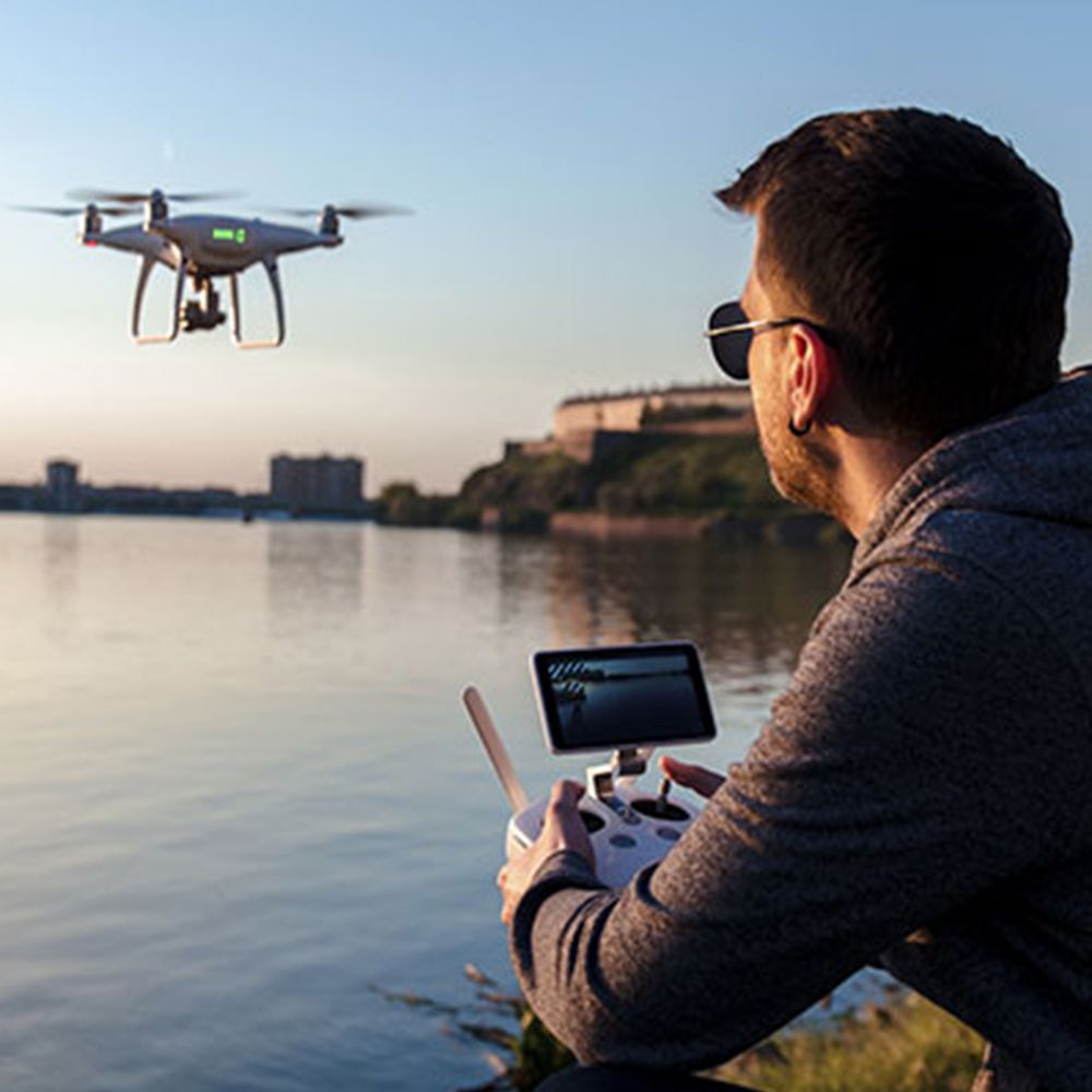
Coastal regions are under constant threat. Rising sea levels, erosion, pollution, and extreme weather all put these delicate areas at risk. Fortunately, drones—also known as UAVs (Unmanned Aerial Vehicles)—are offering smart, cost-effective solutions to monitor and protect coastal zones.
Let’s dive into how drones are making a difference along our shorelines.

1. Monitoring Coastal Erosion
Erosion is one of the biggest challenges for coastal communities. Drones help track changes in coastline shapes over time. With high-resolution aerial images, experts can measure how quickly beaches are disappearing or cliffs are retreating.
These images are turned into 3D models, giving researchers a clear view of land loss. Regular UAV surveys allow faster response to threats and better planning for coastal defenses.
Check out our UAV Solutions for tools that support environmental monitoring.


2. Assessing Storm and Flood Damage
After storms or floods, time is critical. Drones can quickly fly over affected areas, capturing data without putting people at risk. This helps rescue teams understand the damage, locate hazards, and plan recovery.
For example, drones were used after hurricanes in the U.S. to inspect bridges, damaged coastlines, and blocked roads. UAVs helped save time and lives.


3. Supporting Marine Wildlife Conservation
Coastal areas are home to many sensitive species. UAVs are now used to track animal movements, nesting sites, and population sizes—all from a safe distance. This reduces human disturbance and provides reliable data.
For example, researchers have used drones to monitor sea turtles, seabirds, and even seals. These efforts help conservation teams protect habitats and adjust strategies in real time.
Want to read more? Here’s a National Geographic article about how drones are transforming wildlife conservation.


4. Pollution Detection and Water Quality Checks
Some drones can carry sensors to measure air and water quality. They detect oil spills, algae blooms, or plastic waste floating offshore. This early warning system allows authorities to act before pollution spreads too far.
In some areas, drones even assist in locating illegal dumping or tracking the spread of contaminants along the coast.


Réflexions finales

Drones are changing how we protect our planet—starting with the shores. From erosion control to wildlife protection, UAVs provide fast, safe, and accurate tools for coastal management.
At CAE UJT, we offer advanced drone technologies designed for real-world challenges. Explore our UAV solutions and see how your work can benefit from smarter, faster data collection.
Facebook: Caeujt
Instagram: caeujt
TikTok: drone7401
Gazouillement: caeujtdrone